
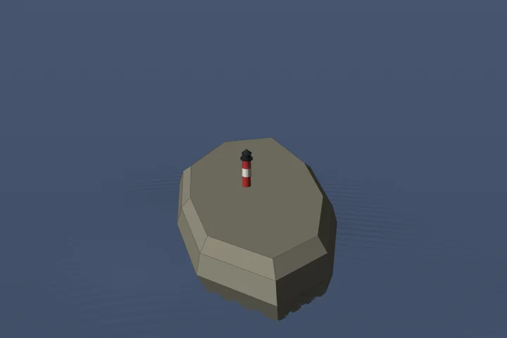
The foreground belongs in the plan
Familiar subjects.
Already in your landscape.
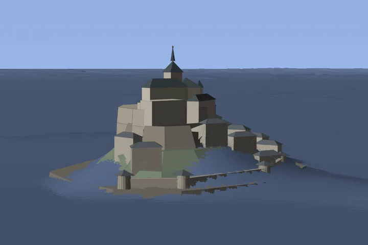
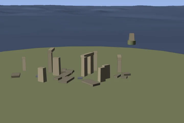
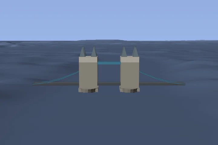
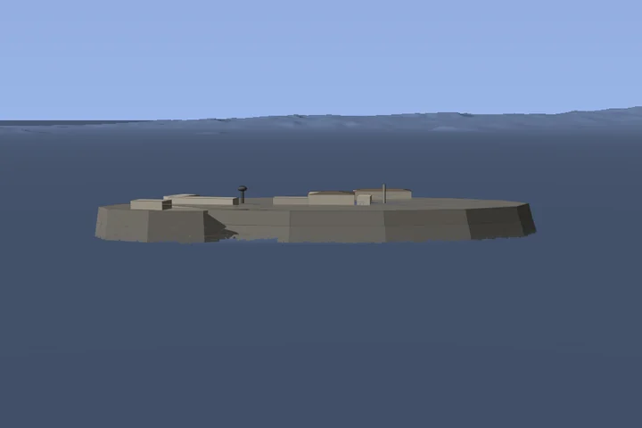
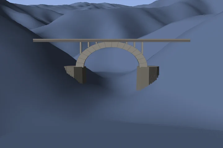
From Teufelstisch to Mont-Saint-Michel, from Eilean Donan to the Golden Gate Bridge: Celeris places these models in your 3D view, so you can plan the sun, moon and stars above the right subject.
127models17countries3continents
These objects are included in the app’s functionality, but are not all downloaded with the installation. Celeris fetches them for the area you are planning and keeps them on the device. Every listed object is within the available terrain coverage. You can switch them off under More; your own models at the same place take precedence.
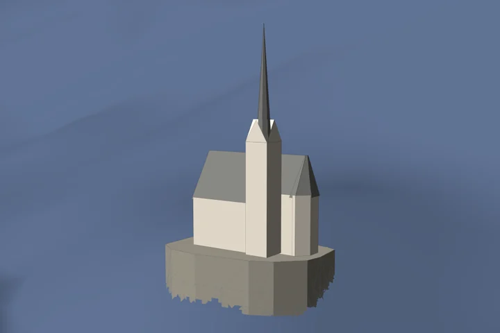
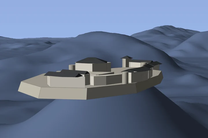
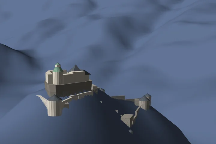
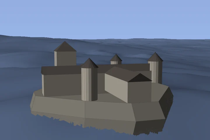
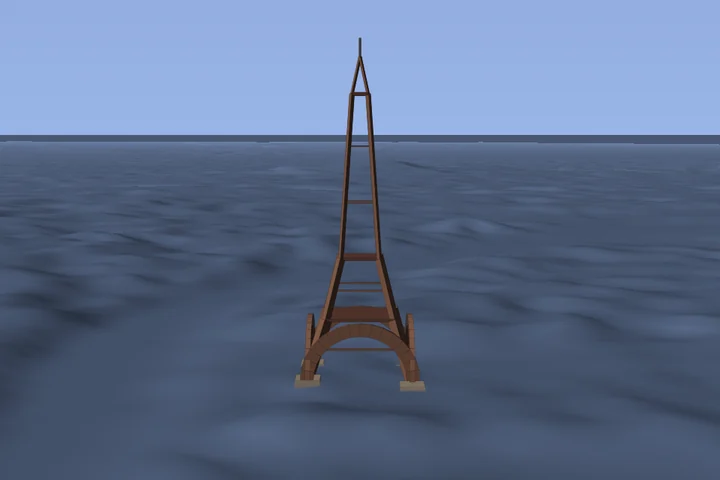
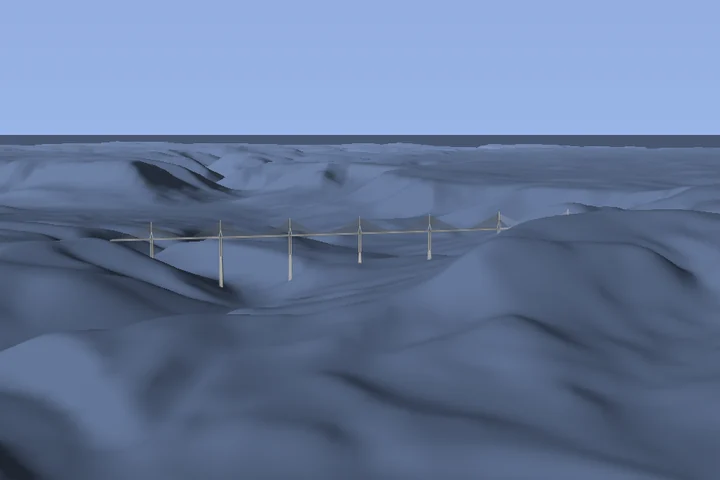
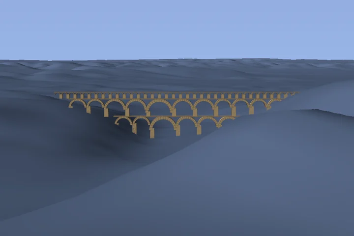
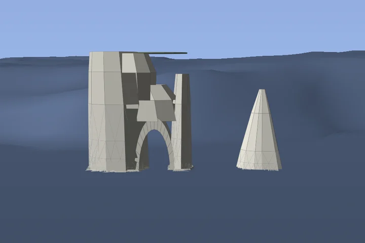
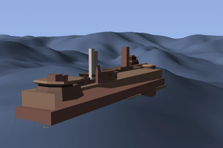
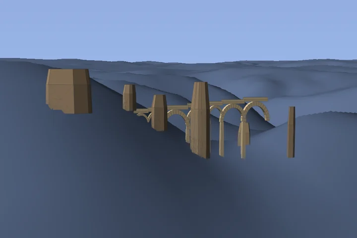
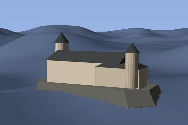
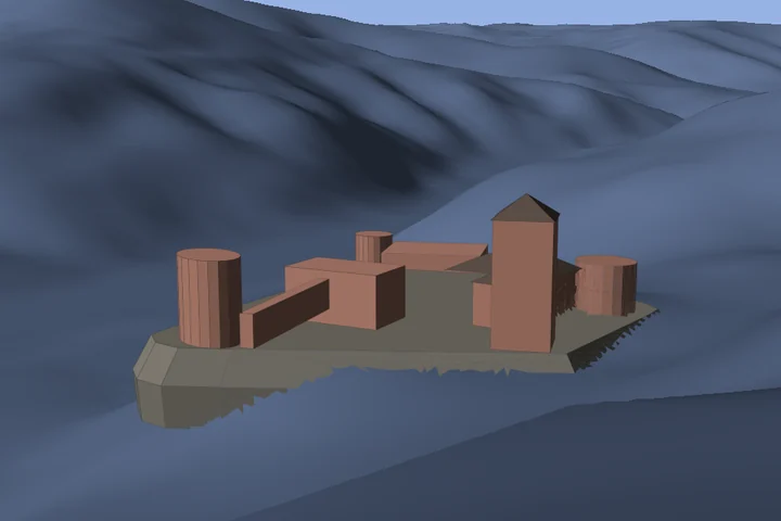
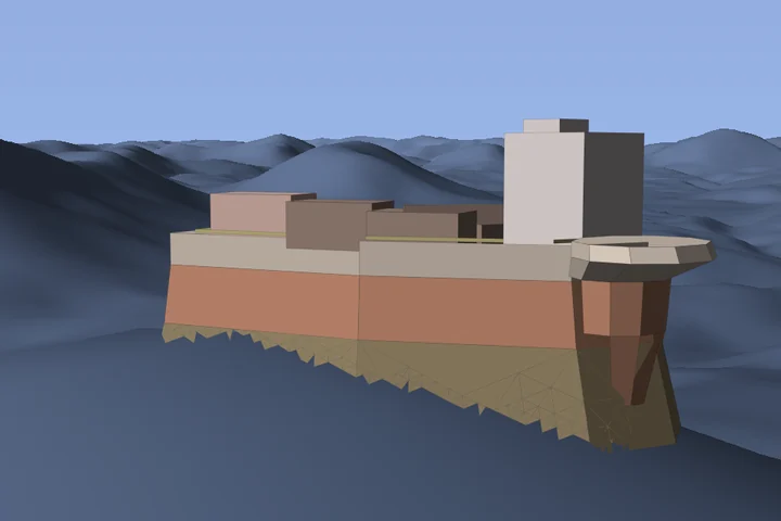
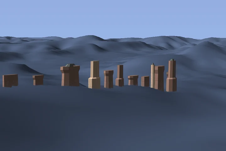
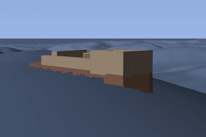
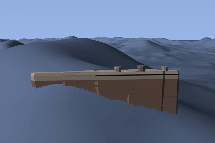
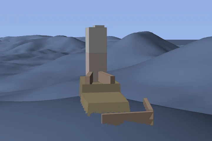
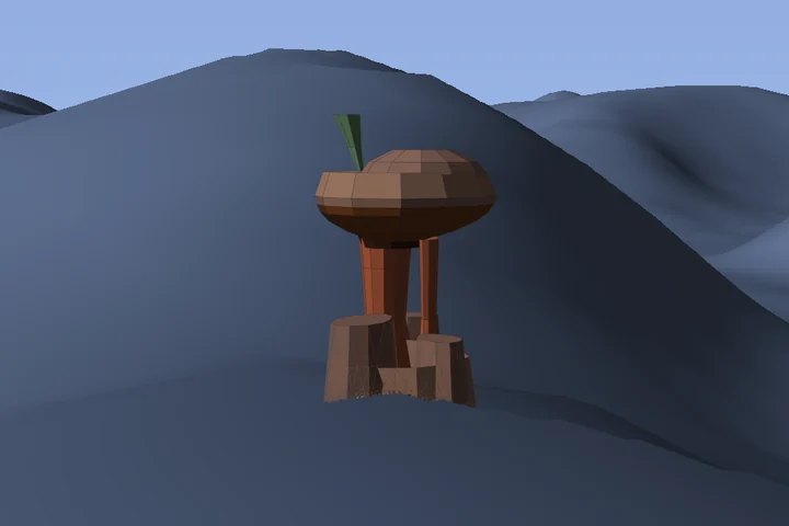
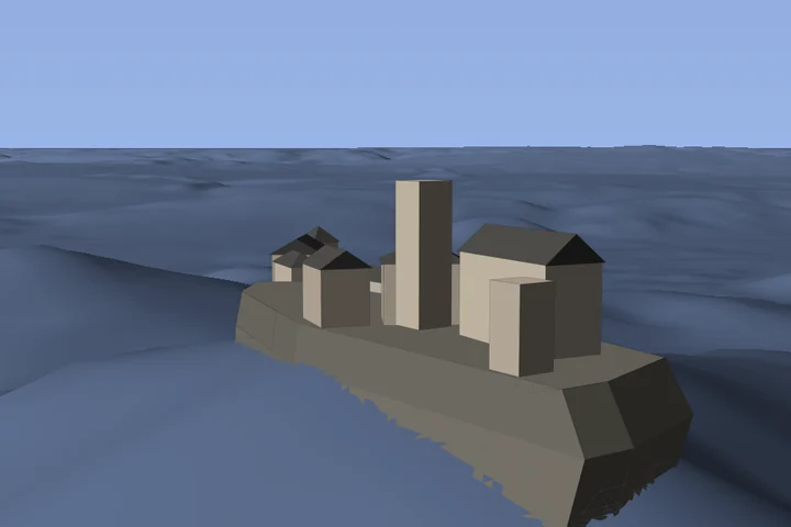
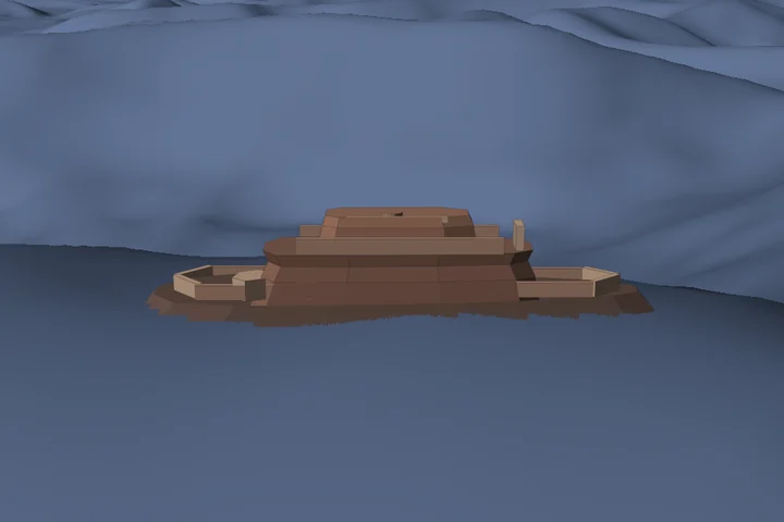
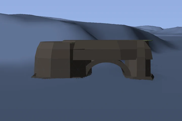
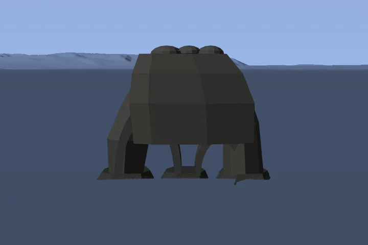
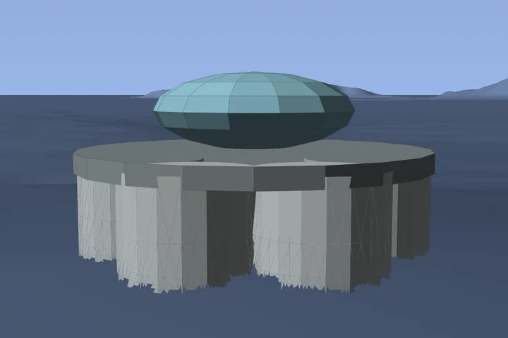
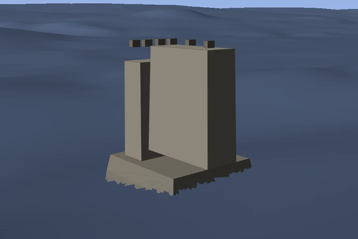
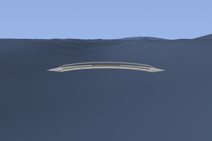
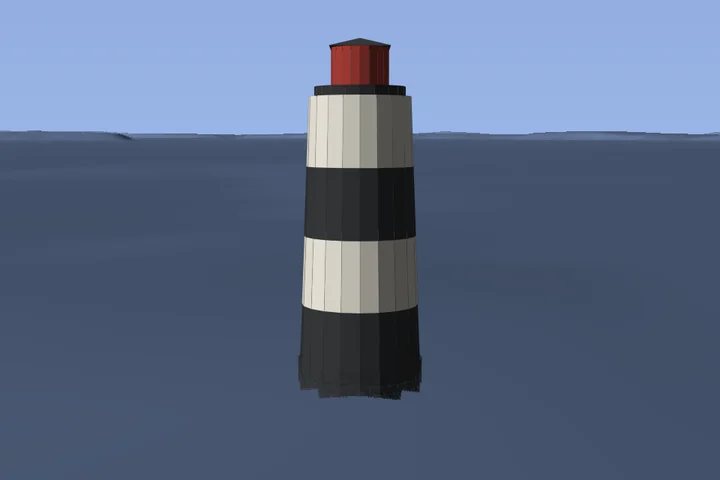
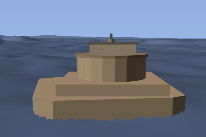
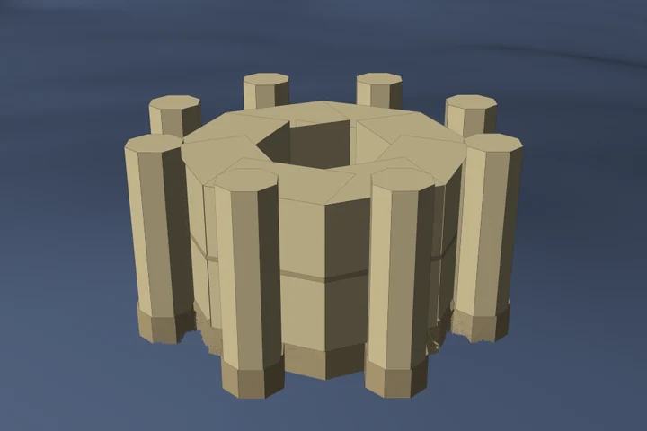
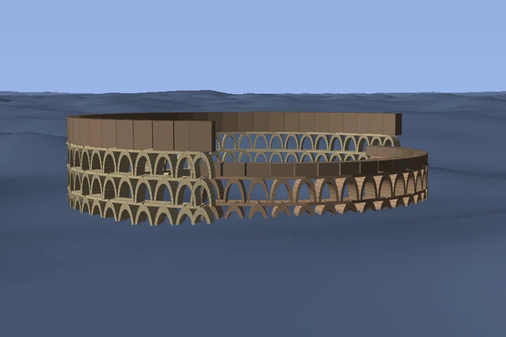
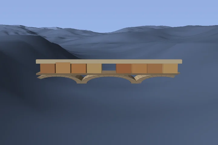
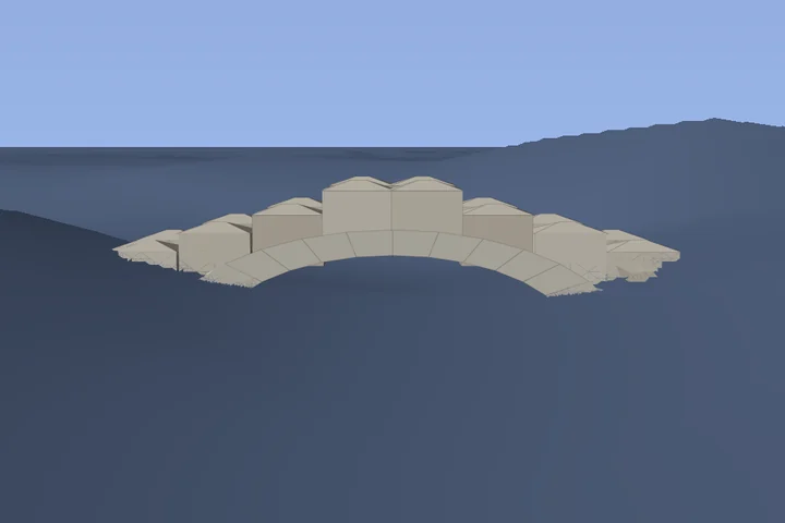
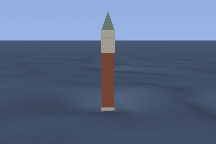
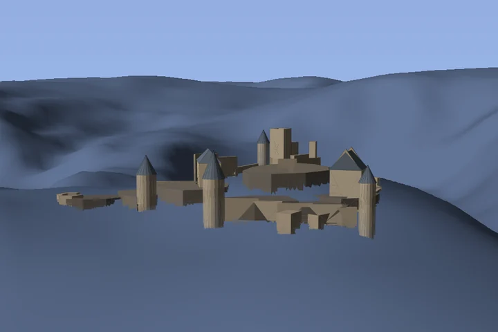
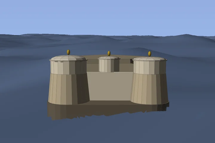
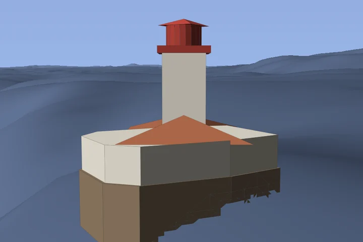
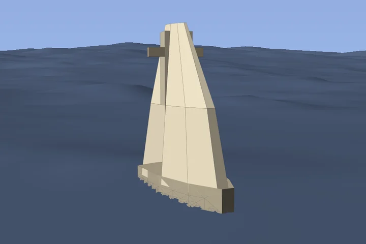
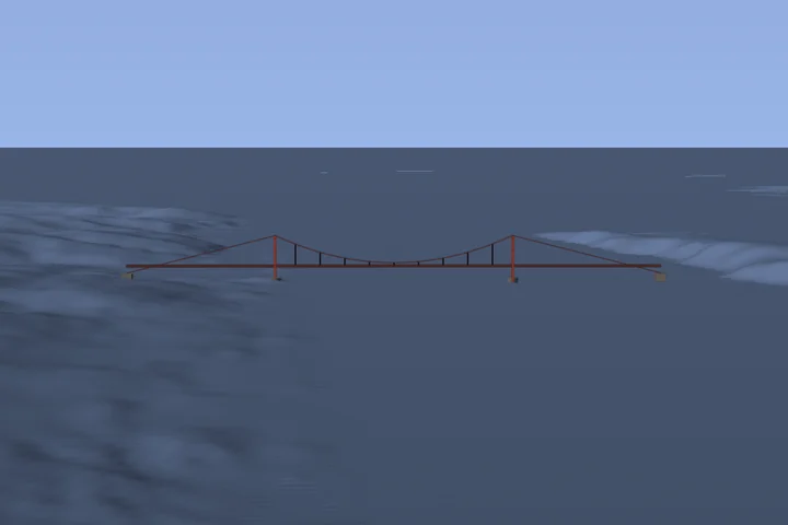
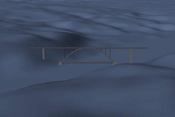
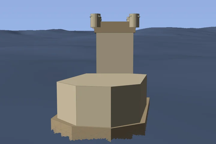
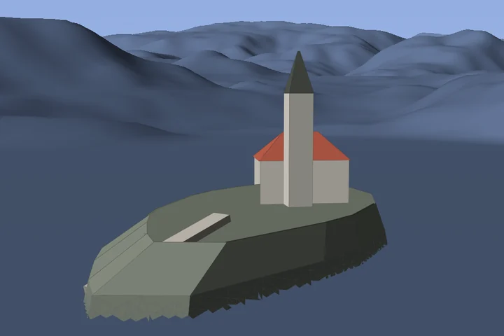
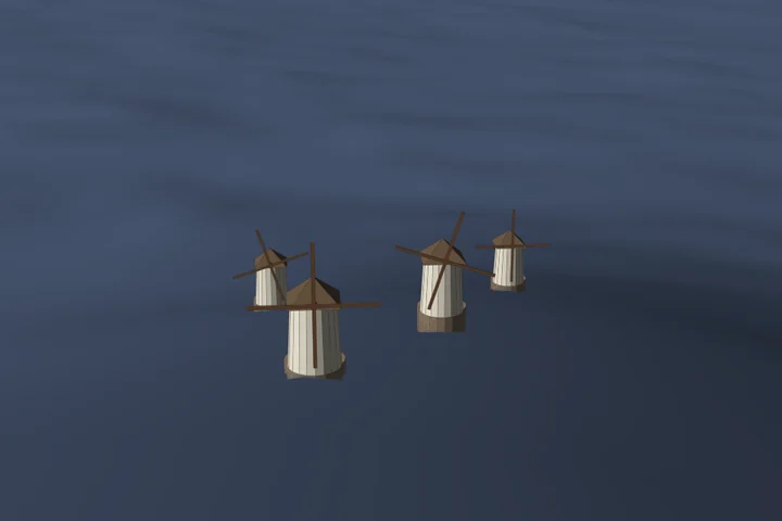
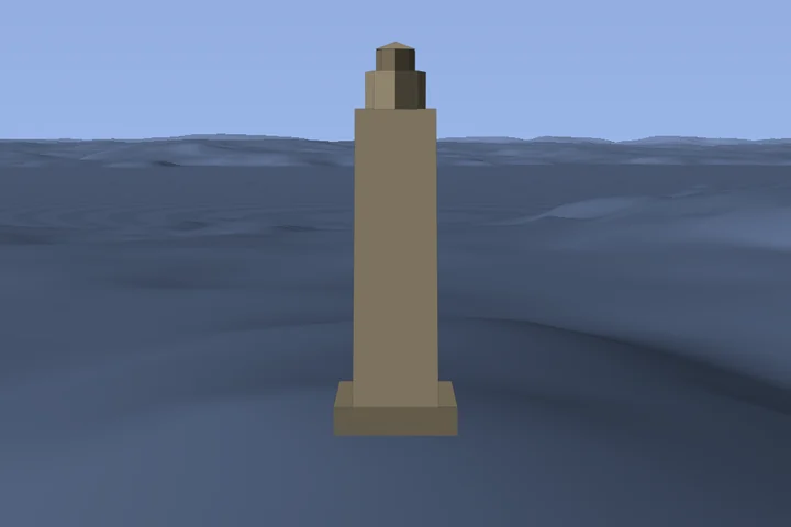
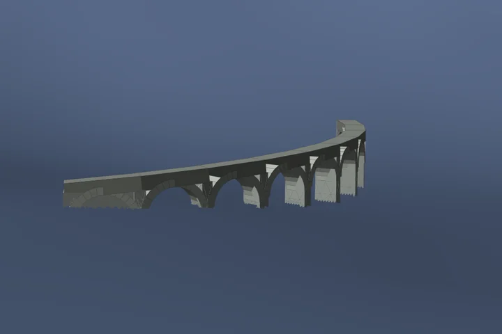
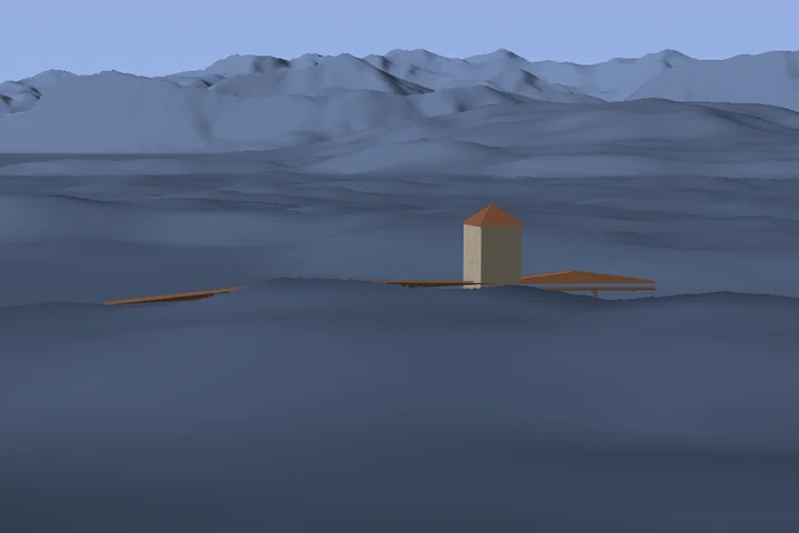
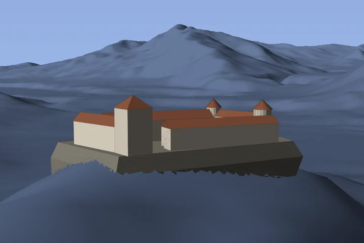
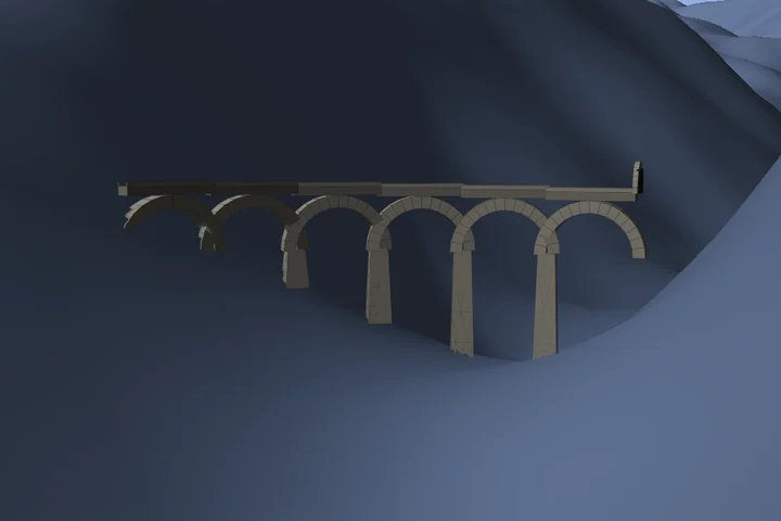
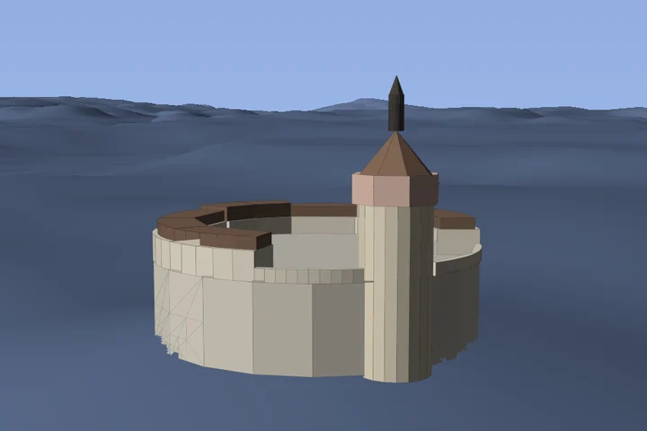
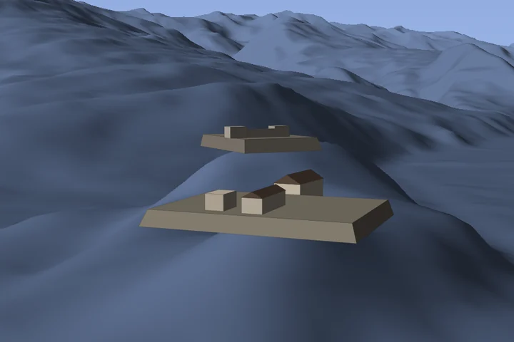
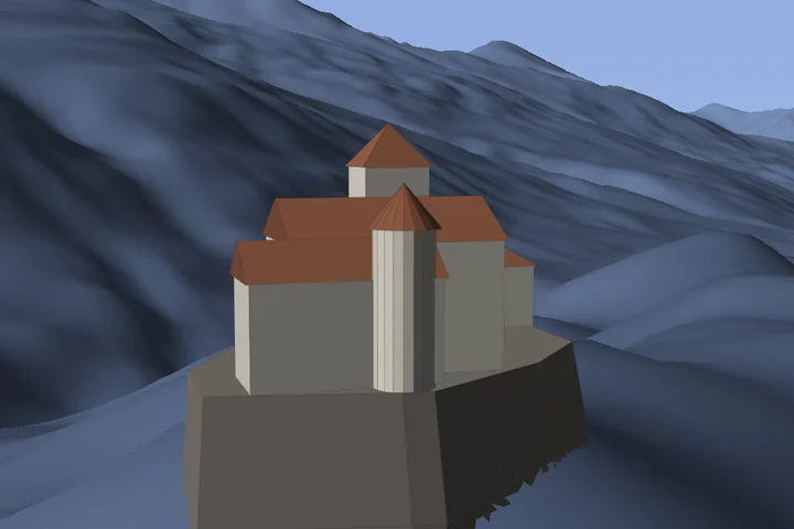
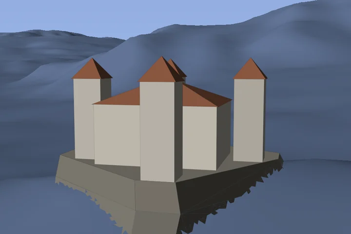
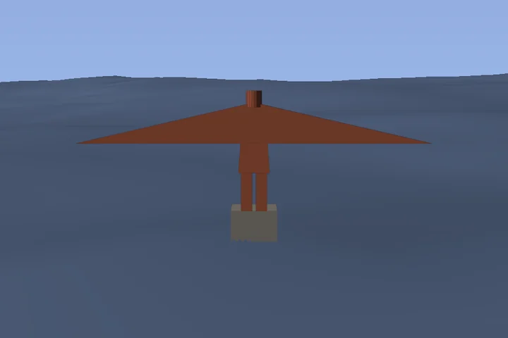
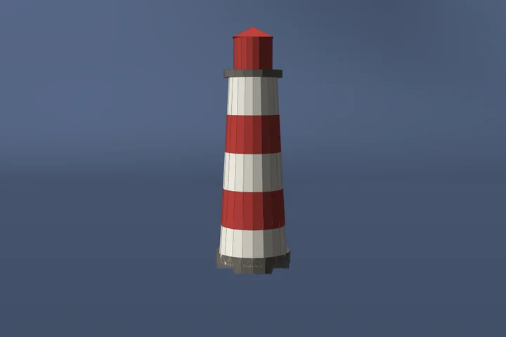
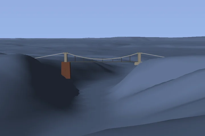
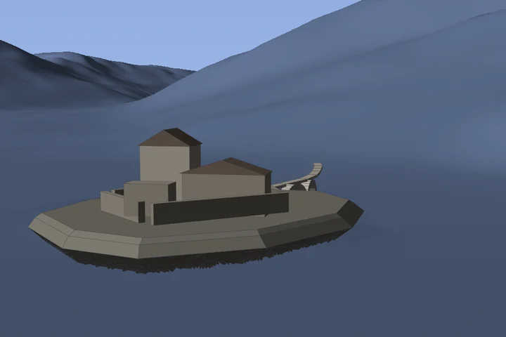
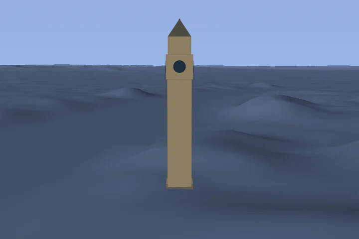
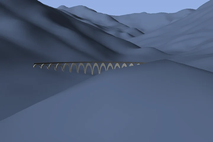
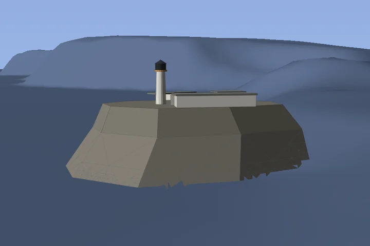
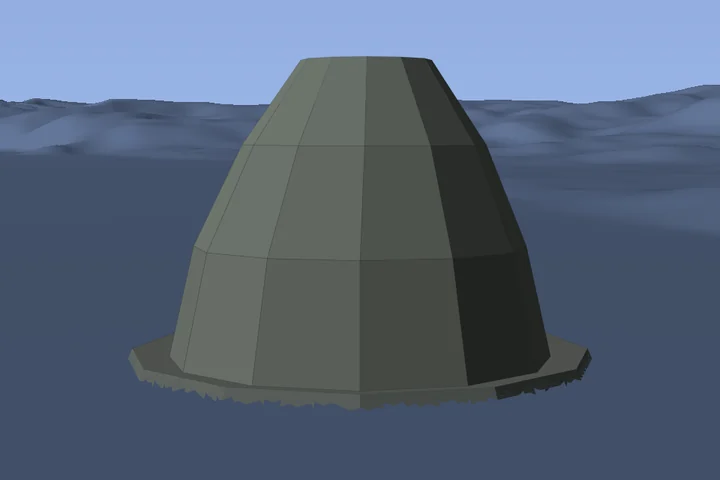
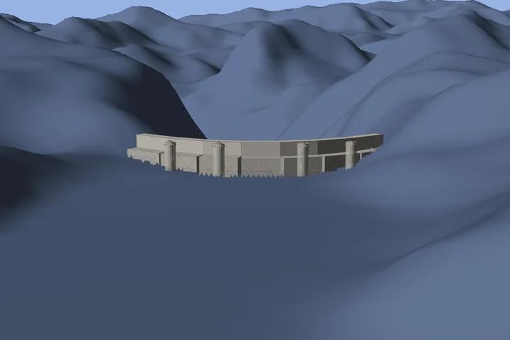
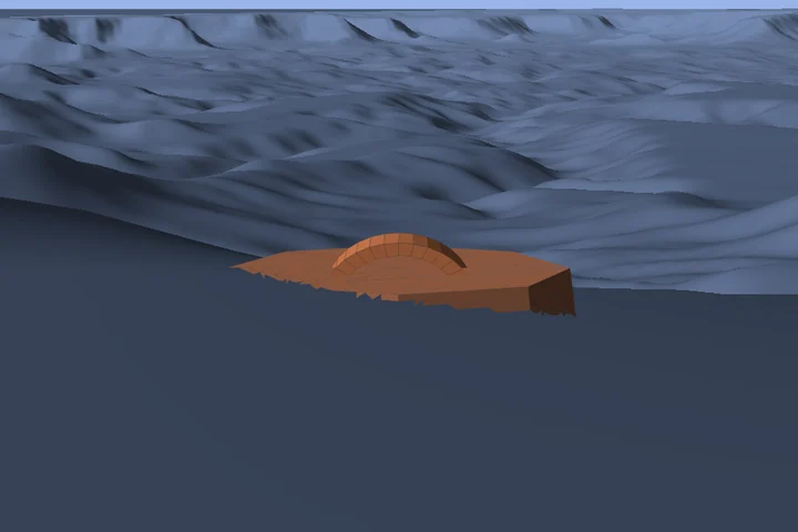
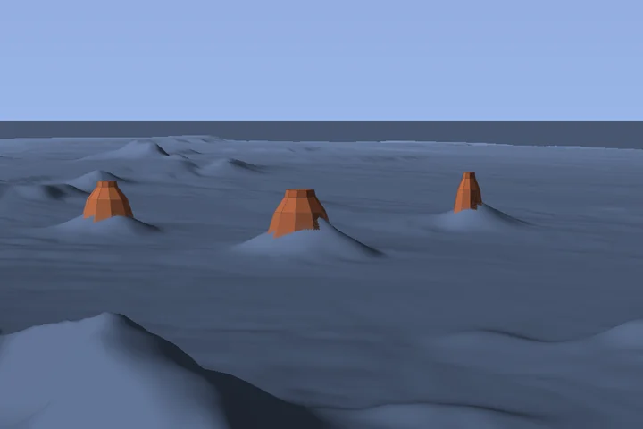
The images are generated directly with Celeris’s 3D picture view: unchanged models on the app’s actual terrain data, with the same lighting and terrain occlusion. Elevated virtual viewpoints and consistent daylight make each subject easy to recognise; they do not promise an accessible photography location. Interface guides are hidden. These are deliberately simplified planning aids, not photographs or survey-grade reconstructions.
Model data include © OpenStreetMap contributors · Sources, licences and adaptation notes.
127 landmarks
No matching landmarks. Try another name or reset the filters.
Argentina 1
Austria 13
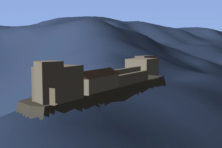
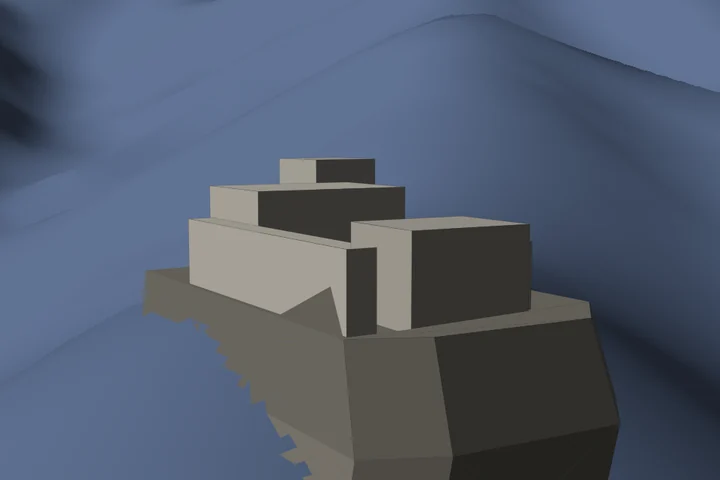
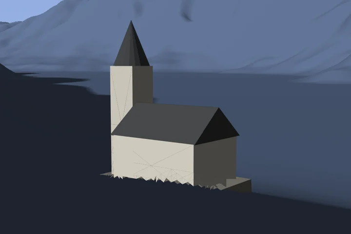

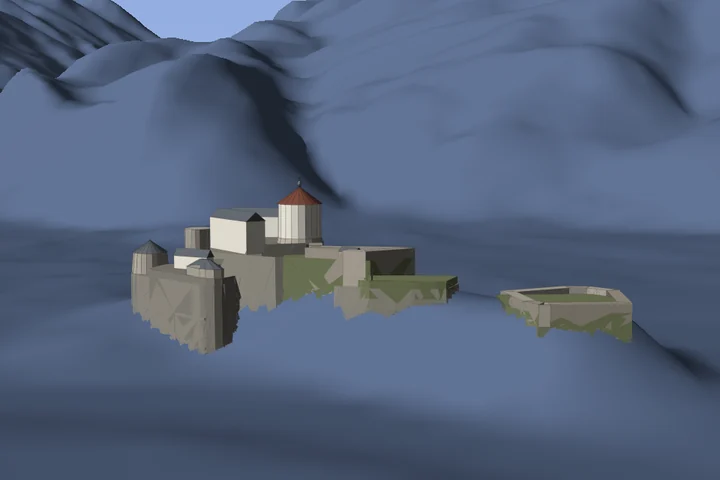
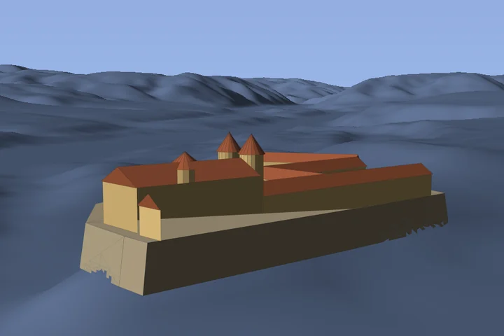
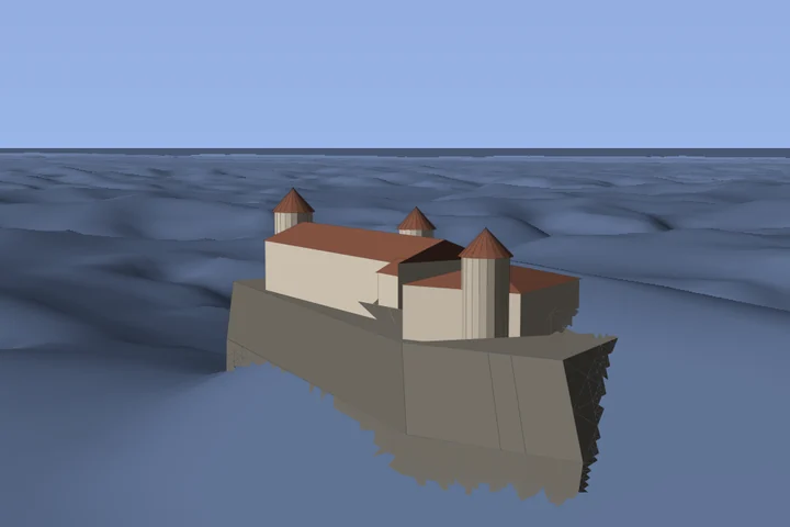
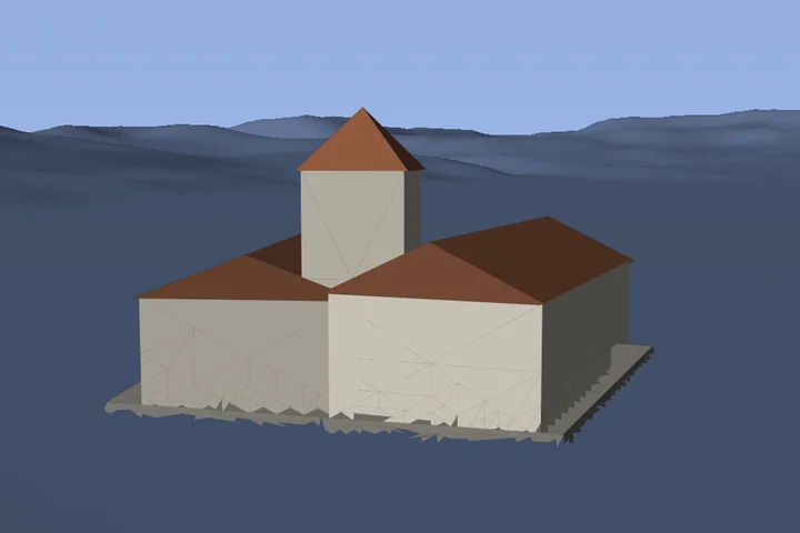
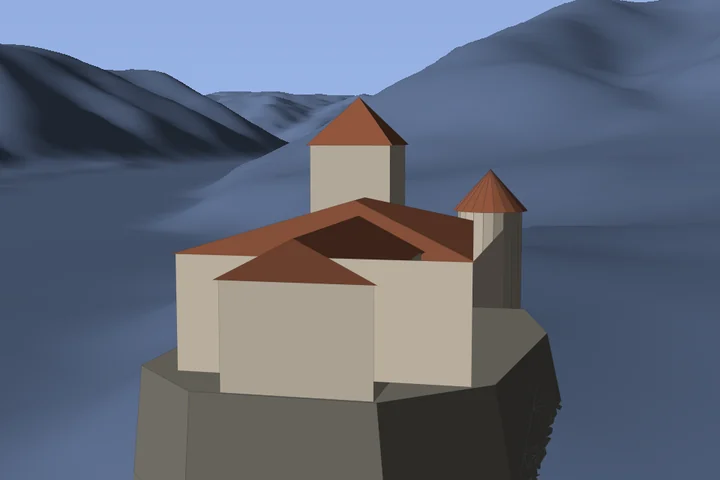
Bosnia and Herzegovina 1
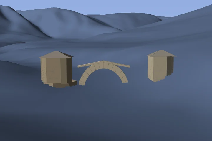
Canada 2
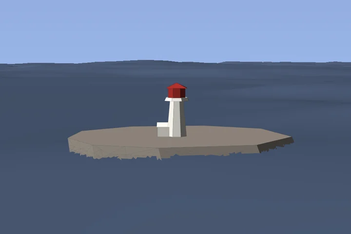
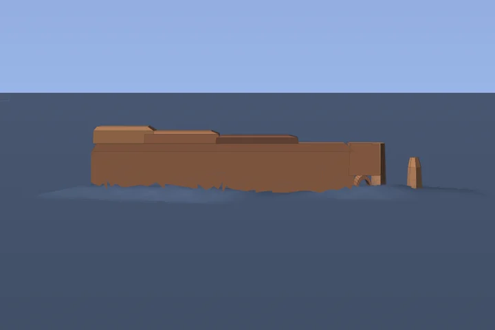
Czechia 1
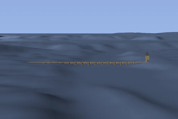
France 9
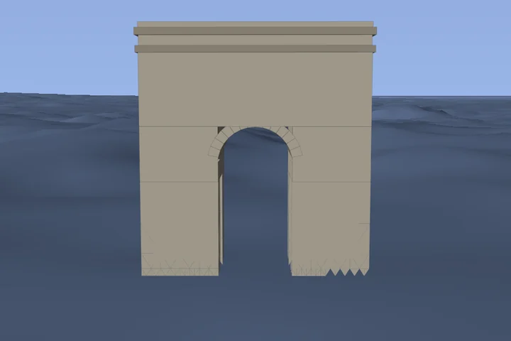
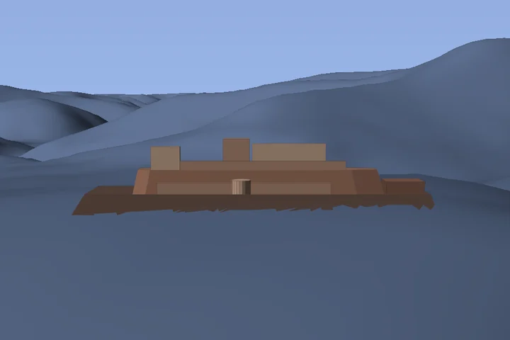

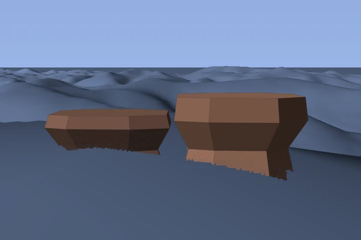
Germany 29


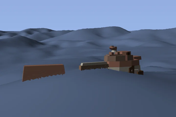

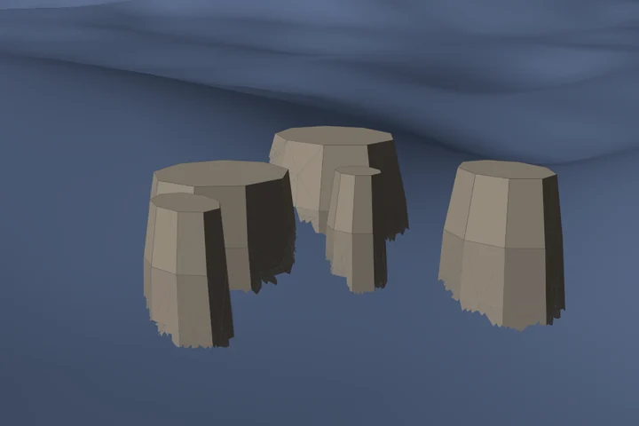
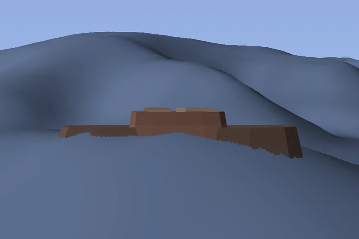
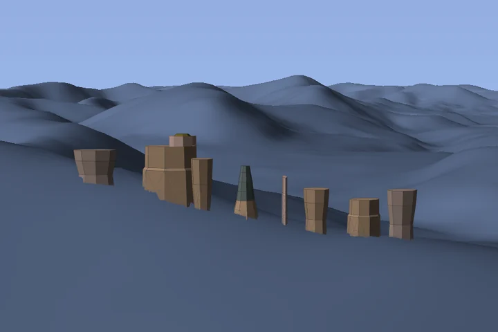
Geiersteine
Palatinate · Wasgau
49.17987°, 7.91183°


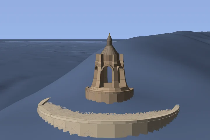
Kaiser Wilhelm Monument (Porta Westfalica)
Weser Uplands · Porta Westfalica
52.24518°, 8.90550°
About this landmark ↗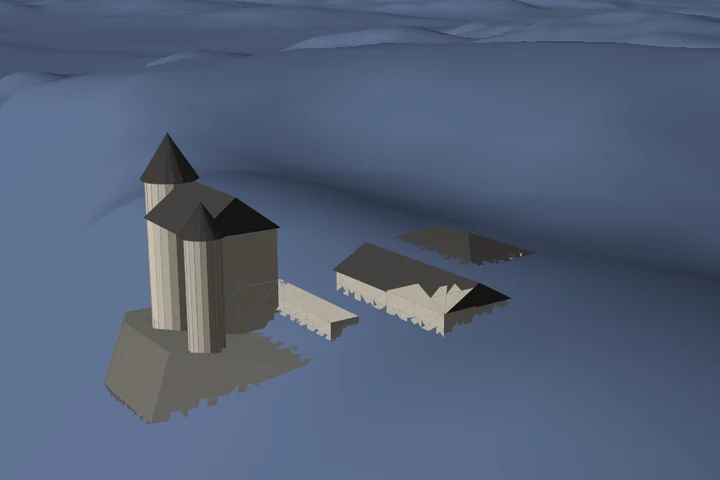

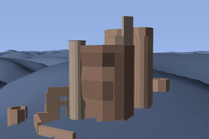
Neudahn Castle
Palatinate · Wasgau
Detail view of the landmark
49.16301°, 7.75724°
About this landmark ↗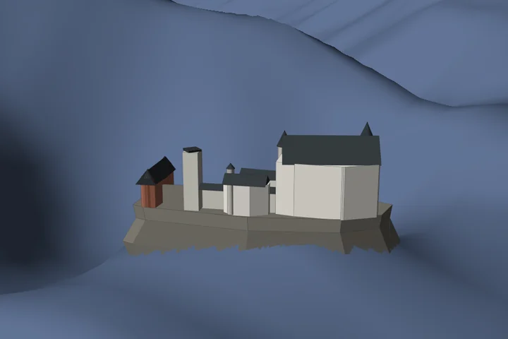
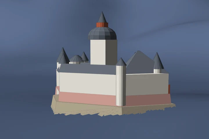
Pfalzgrafenstein Castle
Middle Rhine · Upper Middle Rhine Valley
50.08314°, 7.76549°
About this landmark ↗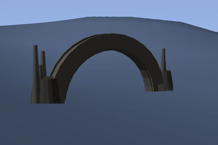

Iceland 4

Ireland 4

Italy 7

Luxembourg 4


Portugal 5
Slovenia 1
Spain 3

Switzerland 13





United Kingdom 9
United States 21

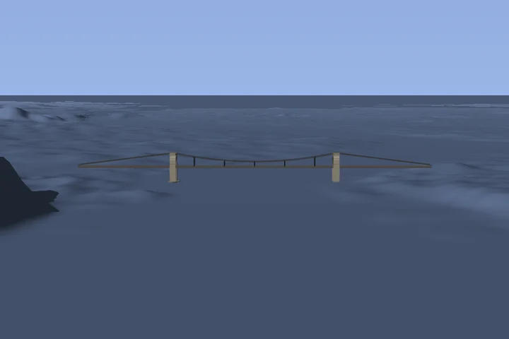
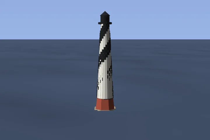
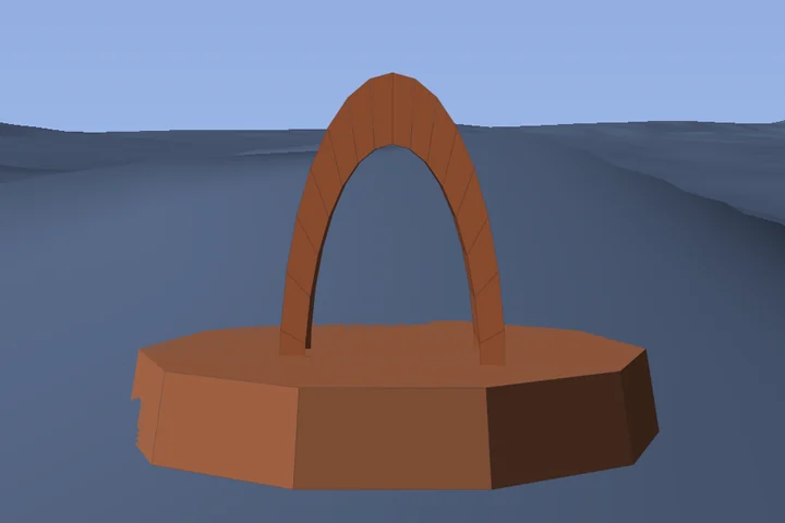
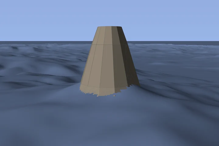
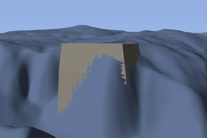
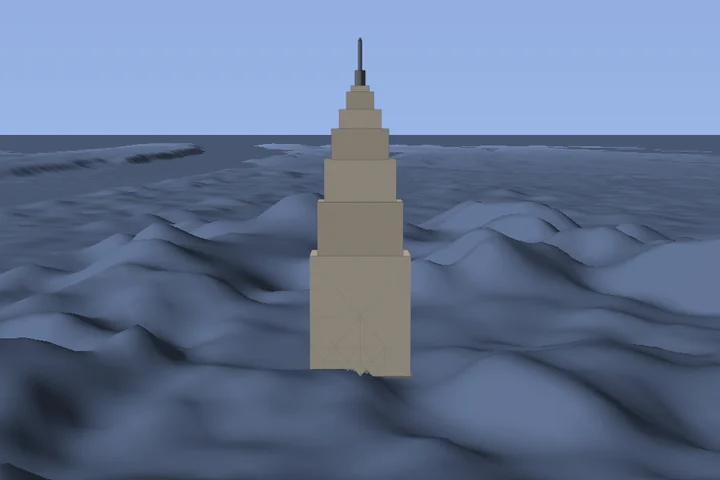
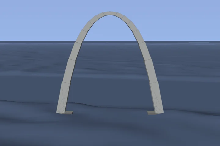

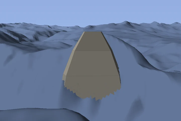

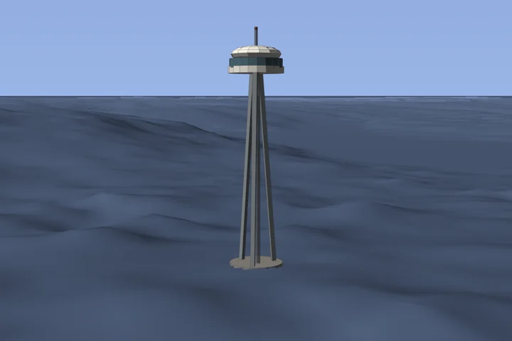
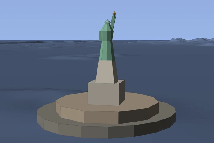
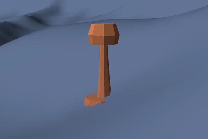
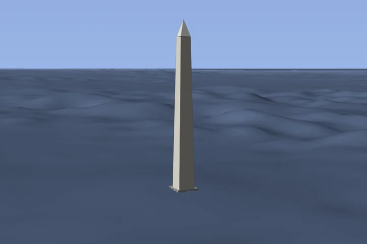
Built from evidence. Made for your frame.
The models use documented dimensions, plans and photographic comparisons. Celeris turns them into the same simple parts available in its 3D editor. Terrain and models are drawn together; the camera height adjusts when you stand on a modelled surface.
Model and preview sources: © OpenStreetMap contributors (ODbL 1.0); GeoBasis-DE / LVermGeoRP (2024), dl-de/by-2-0; Quelle: GeoSN (2025), dl-de/by-2-0; Daten verändert. Terrain placement uses Copernicus WorldDEM-30. Full sources, adaptation notes and access to the model data.
Reviewed: · Catalogue revision 3942698. The list and all previews are generated from the same reviewed JSON files as the app downloads. Search runs only in your browser; all images are hosted on this website.